
| Started in: | 2012 |
| Contact person: | Ralf Reulke, Dominik Rueß |
| Staff involved: | Dominik Rueß |
Mapping of land cover and land use in Southeast Asia and other tropical
regions is challenging because of persistent cloud cover and topography.
SAR sensors have the ability to penetrate clouds and the backscatter is
related to structural characteristics such as canopy density, crown and leaf
shapes. However, radar shadows, foreshortening and layover effects limit data
usability in steep terrain. Most radar studies in Southeast Asia have been
conducted for small, selected areas over flat terrain.
Little is known about the potential and limitations of SAR for monitoring large areas.
With ERS-1/2 data and ENVISAT ASAR there are now, for the first time, long
radar time series available (since 1990 more than 20 years). The long history
of acquisitions and ensured data continuity through future missions
(Sentinel-2) makes these sensors particularly attractive for operational
monitoring in a REDD context.
The aim of this study was to explore the utility of space-borne SAR sensors
for mapping of land cover in Southeast Asia by examining topographic effects
on radar visibility in this region.
This is a joint work with the group of
 Prof. Hostert
at the department of Geography.
Prof. Hostert
at the department of Geography.
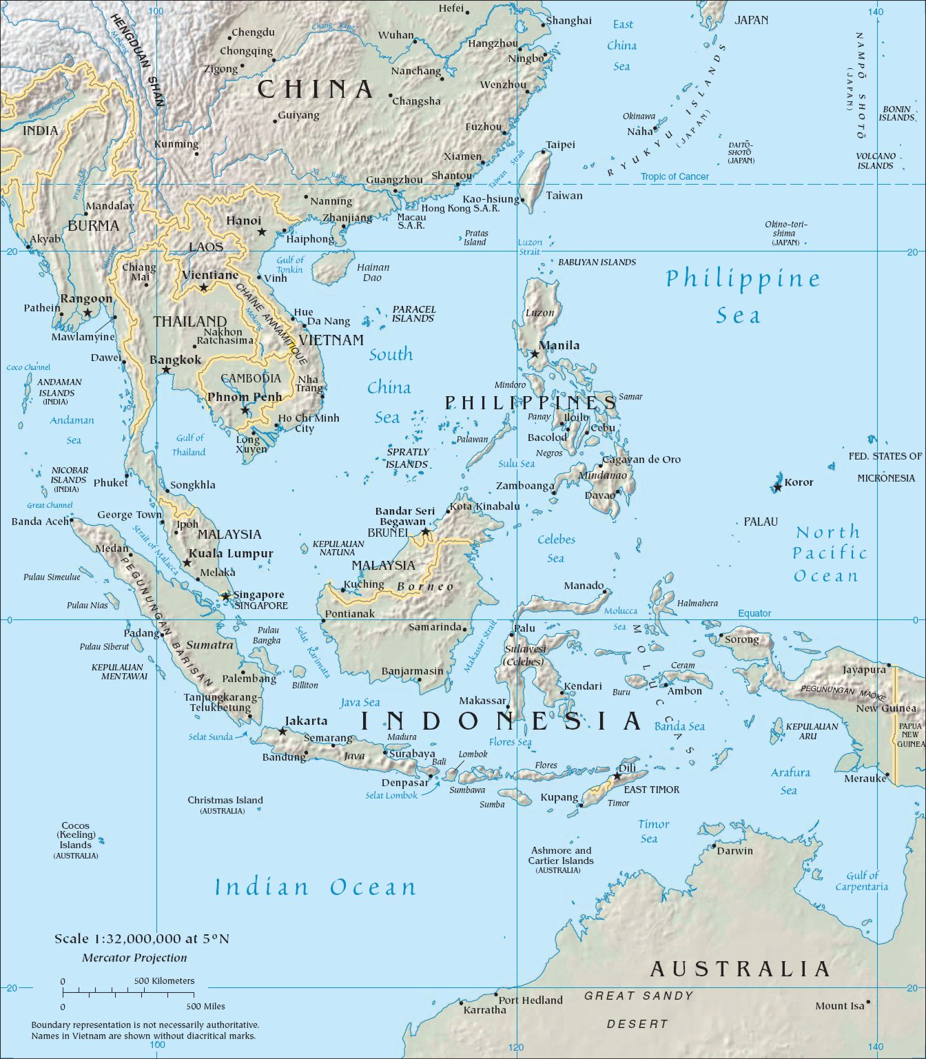 |
| Figure 1: Southeast Asia with its rough topology. (Image from Wikipedia, Public Domain) |


© 2026 - Computer Vision, Department of Computer Science, HU Berlin - - Legal Notice